
According to recent research, 152 billion tonnes of freshwater – comparable to 20 times Loch Ness or 61 million Olympic-sized swimming pools – flooded the waters surrounding the sub-Antarctic island of South Georgia as the megaberg A68A melted over three months in 2020/2021.
The A68A iceberg broke away from the Larsen-C Ice Shelf on the Antarctic Peninsula in July 2017 and started its epic 3.5-year, 4000-kilometer voyage across the Southern Ocean.
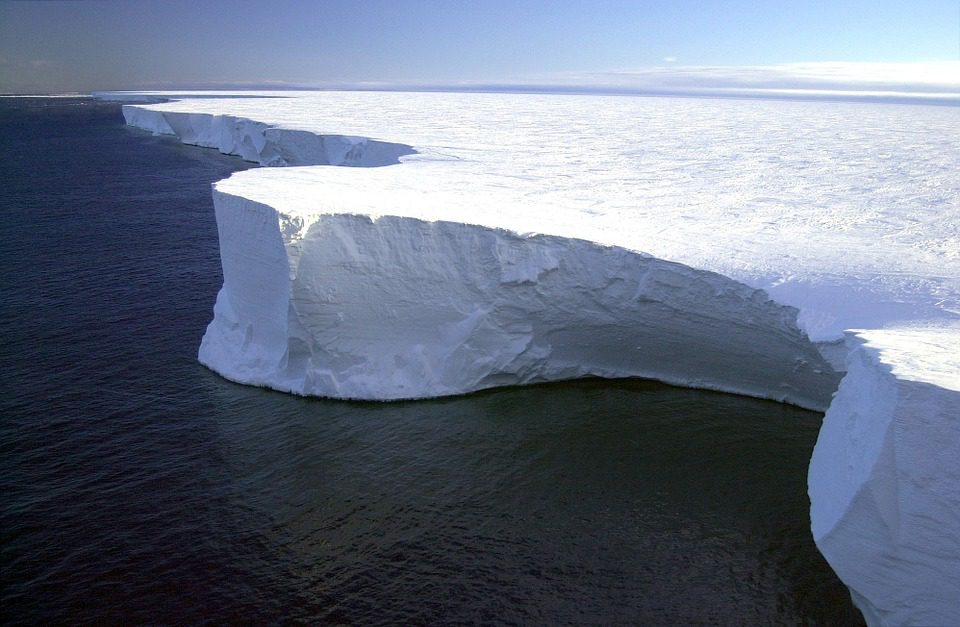
It was the largest iceberg on Earth when it formed, at 5719 square kilometers — a fourth the size of Wales – and the sixth-largest on record.
Around Christmas 2020, the berg drew global attention as it traveled dangerously near South Georgia, increasing worries that it may threaten the island’s peaceful environment.
Satellite data were utilized by researchers from the Centre for Polar Observation and Modelling (CPOM) and the British Antarctic Survey (BAS) to trace the A68A iceberg’s area and thickness change during its life cycle.
The authors demonstrate that the berg melted sufficiently as it moved to avoid damage to the sea bottom surrounding South Georgia by running aground.
However, a side consequence of the melting was the discharge of 152 billion tonnes of freshwater near the island. This disruption might have a significant influence on the island’s marine ecology.
A68A spent the first two years of its existence in the icy waters of the Weddell Sea, near to Antarctica, and suffered minimal melting.
However, after it started its northward trek over the Drake Passage, it encountered increasingly warm waters and began to dissolve.
The iceberg decreased by 67 meters from its original thickness of 235 meters, with the pace of melting increasing dramatically as it drifted in the Scotia Sea off South Georgia.
Laura Gerrish, a BAS GIS and mapping expert and co-author of the paper, stated:
“A68 was an absolutely fascinating iceberg to track all the way from its creation to its end. Frequent measurements allowed us to follow every move and break-up of the berg as it moved slowly northward through iceberg alley and into the Scotia Sea, where it then gained speed and approached the island of South Georgia very closely.”
The Iceberg’s Path
If an iceberg’s keel is excessively deep, it might get stranded on the sea bottom.
This may be disruptive in numerous ways; the scour scars can damage biodiversity, and the berg itself can hinder ocean currents and predator hunting pathways.
When A68A reached South Georgia, all of these were possible concerns.
However, according to this new research, it only connected momentarily with the sea bottom before breaking apart, making it less of a concern in terms of obstruction.
By the time it reached the shallow seas surrounding South Georgia, the iceberg’s keel had shrunk to 141 meters below the ocean surface, shallow enough to miss the seafloor, which is roughly 150 meters deep.
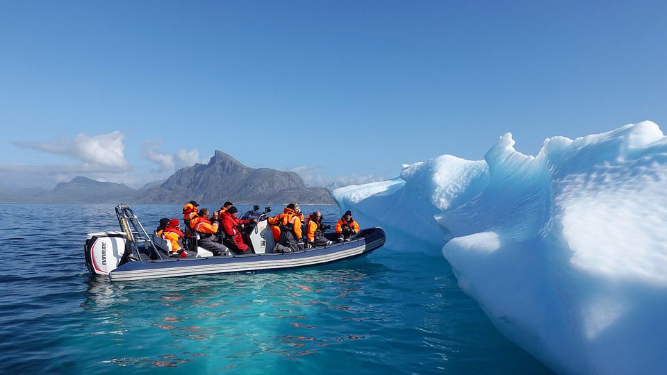
Nonetheless, the gigantic iceberg’s presence would undoubtedly have influenced the habitat and fauna around South Georgia.
When icebergs break off from ice shelves, they drift with the ocean currents and wind, releasing cold fresh meltwater and nutrients as they melt.
This technique affects local water circulation and promotes biological production around the iceberg.
At its height, the iceberg was melting at a pace of 7 meters per month, releasing a whopping 152 billion tonnes of fresh water and minerals.
The study’s principal author is Anne Braakmann-Folgmann, a CPOM researcher and Ph.D. student at the University of Leeds’ School of Earth & Environment.
She said this is a massive volume of meltwater, and the next thing experts want to know is if it had a favorable or bad influence on the environment surrounding South Georgia. Because A68A travelled a typical route over the Drake Passage, scientists expect to learn more about icebergs traveling similar paths and how they impact the polar waters.
The path of A68A has been plotted using data from five different satellites.
The area change of the iceberg was measured using Sentinel-1, Sentinel-3, and MODIS images.
Meanwhile, the iceberg’s thickness was assessed using CryoSat-2 and ICESat-2 altimetry.
The iceberg’s size, thickness, and volume change were calculated by combining these observations.
CryoSat Mission Manager of the European Space Agency, Tommaso Parrinello, stated that the ability to monitor every iceberg motion in such depth is due to developments in satellite methods and the utilization of a range of measures.
Imaging satellites record the position and form of the iceberg. At the same time, altimetry missions provide the third dimension by measuring the height of surfaces underneath the satellites and therefore seeing how an iceberg melts.